WW/OCEANFREIG
Vietnam rain to ease after rough seas ground two cargo ships
Two cargo ships grounded near Sa Huynh and Lang Co as floods and landslides disrupted roads across six Vietnamese provinces, with heavy rain forecast through Thursday.
- Desk
- Ocean Freight
- By
- James Calloway
- Filed
- Length
- 594 words
- Read
- 3 min
Key points05
- Two cargo ships grounded near Sa Huynh in Quang Ngai and Lang Co in Hue.
- Rainfall of 50-120 mm is forecast in Hue, Da Nang and eastern Quang Ngai, with isolated totals above 200 mm.
- Flooding and landslides disrupted roads in Thanh Hoa, Ha Tinh, Quang Tri, Hue, Da Nang and Quang Ngai.
- Authorities reported two injuries, 38 damaged or unroofed houses, 126 hectares of flooded crops and nearly 10,000 poultry killed.
- A weaker cold front could reach northern Vietnam around November 18-19.
By James Calloway
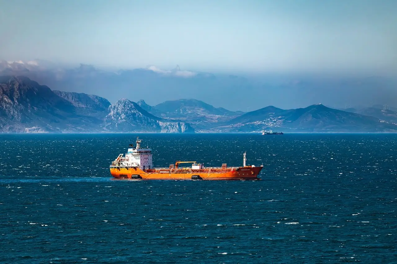
Two cargo ships ran aground near Sa Huynh in Quang Ngai and Lang Co in Hue after rough seas, while flooding and landslides disrupted road traffic across six Vietnamese provinces.
Heavy rain is expected to continue through Thursday morning, with scattered showers and thunderstorms from Friday, so conditions should improve without clearing immediately.
What changed for freight movement?
The confirmed marine disruption consists of two groundings in central Vietnam. The bulletin did not name either vessel or carrier, identify the cargo, or provide TEU, tonnage, cargo value or sailing details.
It also did not report a port closure. For container and breakbulk planners, that leaves the scale unquantified; the hard facts are two vessels aground in rough seas.
Road access presents the broader freight issue. Inundation and landslides disrupted traffic on multiple roads in Thanh Hoa, Ha Tinh, Quang Tri, Hue, Da Nang and Quang Ngai.
Carriers and forwarders moving trucks through those provinces face route and timing uncertainty, while shippers need to check delivery commitments against local access conditions. No closure list, detour distance or cargo volume was supplied.
How severe were the conditions?
Forecasters said: “Heavy rain would continue through Thursday morning.” The system combines a strong cold front with upper-level easterly disturbances. The central forecast calls for 50-120 mm in Hue, Da Nang and eastern Quang Ngai, with isolated areas exceeding 200 mm.
Eastern Gia Lai, Dak Lak and Khanh Hoa may receive 30-70 mm, with localized totals above 120 mm. By Friday, most areas are expected to see only scattered showers and thunderstorms.
Forecasters described the cold spell, which began last Sunday, as one of the strongest in the past decade. Combined with moist easterly winds, it produced widespread rainfall; some locations recorded more than 800 mm, including the Bach Ma area in Hue.
Rivers rose above warning levels and flooded low-lying communities in Thanh Hoa and Quang Ngai. The Vietnam Disaster and Dyke Management Authority attributed the following losses to the heavy downpours:
- Two people were injured.
- 38 houses were damaged or lost their roofs.
- 126 hectares of crops were flooded.
- Nearly 10,000 poultry were killed.
Strong winds of 29-49 kph, with gusts reaching 50-74 kph, affected coastal areas. In Da Nang, authorities reported 421 trees and one power pole toppled. The report did not say whether either blocked a freight route or specify a power outage or repair time.
What happens next?
Northern Vietnam is forecast to see scattered showers beginning late Wednesday, initially in the northwest before expanding across the region Thursday. Northeastern provinces are expected to get most of their rain Friday. Cold conditions may persist until Friday morning.
Warmer weather should follow. Hanoi is forecast to record daytime temperatures of 27-30 degrees Celsius and nighttime temperatures of 20-23 degrees Celsius from around Saturday onward. Another cold front could reach northern Vietnam around November 18-19, although forecasters expect it to be weaker than the current front.
That outlook points to a gradual reduction in weather risk, not an immediate end to disruption. The bulletin reports no port closure, cargo cancellation, freight-rate change or capacity withdrawal, so shippers and forwarders cannot use it to quantify delay, inventory or rate exposure.
The next operational indicators are whether roads in the six affected provinces regain dependable traffic and whether rough seas permit vessel movement near Sa Huynh and Lang Co. Any move in rates or available capacity will depend on those access and sailing conditions, because the bulletin provides no cargo-volume or capacity data.
Source: news.tuoitre.vn
More from James Calloway
Show full bio
Correspondent covering companies, deals and strategy in Ocean and air freight, container shipping at Waybill Wire.
832 articles